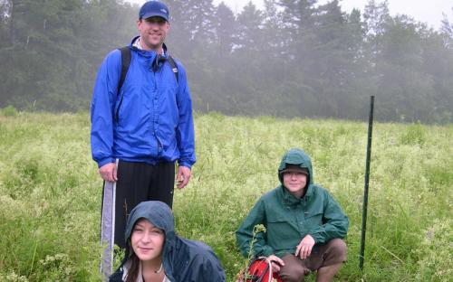
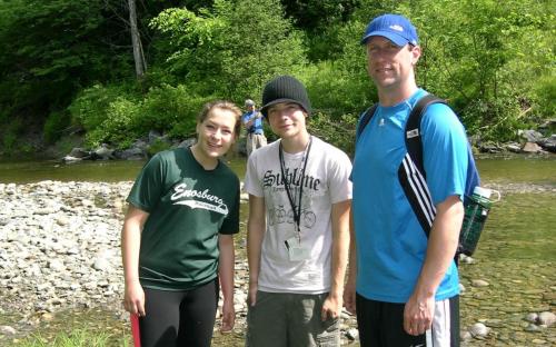
Dr. Les Kanat, JSC, and RACC CWDD High School Team are working in Jeffersonville, VT, at the Deer Run Heights landslide region of the Brewster Uplands Community Trust Field. Cambridge Elementary School sits downslope, just across the Brewster River. Dr. Kanat explained that "We hypothesize that loading of the sediment, by groundwater infiltration, may trigger a landslide. Streamflow, precipitation, groundwater levels, ridge cutback, and subsurface movement may indicate a hazardous situation."
The two-person team from Enosburg Falls HS retrieves data from HOBO loggers that monitor two separate groundwater wells, another logger measures stream gauge, and another logger records precipitation. A time domain reflectometer was used in two additional wells to determine if there were any changes in the signal that might indicate subsurface movement. In addition, the team used a soil water level meter to determine depth to groundwater in six wells, and measured cutback rates at nineteen different locations along the ridge crest.


